Where is Northampton County, Pennsylvania?
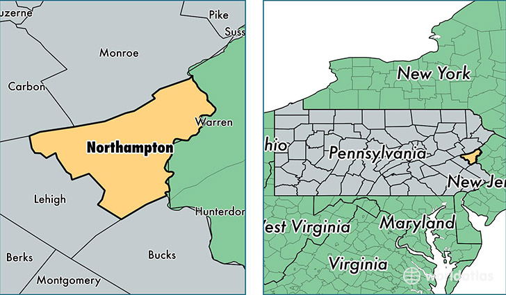
Northampton County is a county equivalent area found in Pennsylvania, USA. The county government of Northampton is found in the county seat of Easton.
With a total 977.45 sq. km of land and water area, Northampton County, Pennsylvania is the 2664th largest county equivalent area in the United States. Home to 300,654 people, Northampton County has a total 120669 households earning 60097 on average per year.
Northampton County, Pennsylvania offers the following attraction to visitors: DWG NRA
Northampton County, Pennsylvania - Quick Facts
| FIPS Code | 42095 |
| Area Codes | 610,570 |
| Time Zone | EST |
| Major Cities | Bethlehem (population: 91,389), Easton (population: 84,132), Nazareth (population: 24,196), Northampton (population: 17,943), Bangor (population: 17,893), Hellertown (population: 11,840), Bath (population: 11,445), Walnutport (population: 8,418), Pen Argyl (population: 6,604), Wind Gap (population: 5,956) |
| Land Area | 116,083 sq miles |
| Water Area | 369 sq miles |
| Household Income | $60,097 |
| Housing Units | 120,669 |
| Median Home Value | $212,100 |
| High School Grads | 89% of population |
| Holders of Bachelors Degrees | 27% of population |
| Retail Spending | $11,550 per capita |
| Food & Accomodation Sales | $384,787 per capita |
| Universities and Colleges | Lafayette College |
This page was last updated on June 30, 2016.