Where is Montgomery County, Pennsylvania?
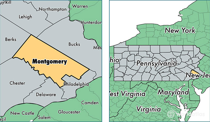
Montgomery County is a county equivalent area found in Pennsylvania, USA. The county government of Montgomery is found in the county seat of Norristown.
With a total 1,261.83 sq. km of land and water area, Montgomery County, Pennsylvania is the 2223rd largest county equivalent area in the United States. Home to 816,857 people, Montgomery County has a total 326276 households earning 79183 on average per year.
Montgomery County, Pennsylvania offers the following attractions to visitors: Graeme Park, Valley Forge NHP
Montgomery County, Pennsylvania - Quick Facts
| FIPS Code | 42091 |
| Area Codes | 215,610 |
| Time Zone | EST |
| Major Cities | Norristown (population: 86,936), Lansdale (population: 55,729), Pottstown (population: 46,279), Collegeville (population: 39,247), Ambler (population: 32,759), Glenside (population: 31,934), North Wales (population: 28,169), Royersford (population: 25,810), Harleysville (population: 24,020), King of Prussia (population: 23,692) |
| Land Area | 315,390 sq miles |
| Water Area | 483 sq miles |
| Household Income | $79,183 |
| Housing Units | 326,276 |
| Median Home Value | $292,600 |
| High School Grads | 94% of population |
| Holders of Bachelors Degrees | 46% of population |
| Retail Spending | $19,534 per capita |
| Food & Accomodation Sales | $1,477,987 per capita |
| Universities and Colleges | Bryn Athyn College of the New Church, Gwynedd Mercy College |
This page was last updated on June 30, 2016.