Where is McKean County, Pennsylvania?
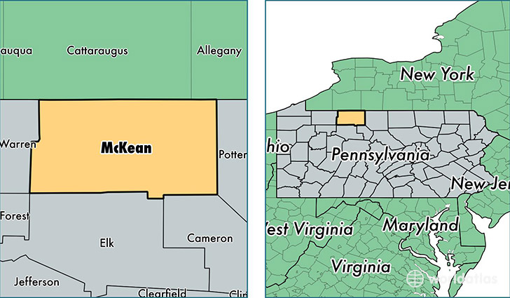
McKean County is a county equivalent area found in Pennsylvania, USA. The county government of McKean is found in the county seat of Smethport.
With a total 2,549.12 sq. km of land and water area, McKean County, Pennsylvania is the 790th largest county equivalent area in the United States. Home to 42,554 people, McKean County has a total 20995 households earning 41834 on average per year.
McKean County, Pennsylvania - Quick Facts
| FIPS Code | 42083 |
| Area Codes | 814 |
| Time Zone | EST |
| Major Cities | Bradford (population: 17,846), Kane (population: 6,260), Smethport (population: 4,286), Port Allegany (population: 3,914), Eldred (population: 2,797), Lewis Run (population: 2,659), Mount Jewett (population: 1,024), Duke Center (population: 755), Rixford (population: 606), Cyclone (population: 537) |
| Land Area | 16,430 sq miles |
| Water Area | 979 sq miles |
| Household Income | $41,834 |
| Housing Units | 20,995 |
| Median Home Value | $72,700 |
| High School Grads | 89% of population |
| Holders of Bachelors Degrees | 15% of population |
| Retail Spending | $9,679 per capita |
| Food & Accomodation Sales | $40,949 per capita |
This page was last updated on June 30, 2016.