Where is Lycoming County, Pennsylvania?
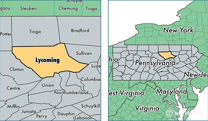
Lycoming County is a county equivalent area found in Pennsylvania, USA. The county government of Lycoming is found in the county seat of Williamsport.
With a total 3,221.52 sq. km of land and water area, Lycoming County, Pennsylvania is the 557th largest county equivalent area in the United States. Home to 116,508 people, Lycoming County has a total 52408 households earning 45430 on average per year.
Lycoming County, Pennsylvania - Quick Facts
| FIPS Code | 42081 |
| Area Codes | 570 |
| Time Zone | EST |
| Major Cities | Williamsport (population: 55,885), Jersey Shore (population: 12,865), Muncy (population: 12,509), Montoursville (population: 12,344), Hughesville (population: 6,276), Cogan Station (population: 5,166), Allenwood (population: 4,694), Montgomery (population: 4,677), Linden (population: 3,203), Trout Run (population: 3,186) |
| Land Area | 44,984 sq miles |
| Water Area | 1,229 sq miles |
| Household Income | $45,430 |
| Housing Units | 52,408 |
| Median Home Value | $131,000 |
| High School Grads | 88% of population |
| Holders of Bachelors Degrees | 19% of population |
| Retail Spending | $12,482 per capita |
| Food & Accomodation Sales | $147,871 per capita |
| Universities and Colleges | Pennsylvania College of Technology |
This page was last updated on June 30, 2016.