Where is Luzerne County, Pennsylvania?
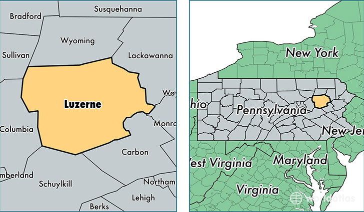
Luzerne County is a county equivalent area found in Pennsylvania, USA. The county government of Luzerne is found in the county seat of Wilkes-Barre.
With a total 2,347.21 sq. km of land and water area, Luzerne County, Pennsylvania is the 934th largest county equivalent area in the United States. Home to 318,829 people, Luzerne County has a total 147883 households earning 44402 on average per year.
Luzerne County, Pennsylvania - Quick Facts
| FIPS Code | 42079 |
| Area Codes | 570 |
| Time Zone | EST |
| Major Cities | Wilkes Barre (population: 74,677), Hazleton (population: 39,607), Pittston (population: 36,886), Kingston (population: 31,216), Dallas (population: 18,055), Mountain Top (population: 15,562), Nanticoke (population: 13,573), Drums (population: 9,023), Plymouth (population: 8,883), Shavertown (population: 8,819) |
| Land Area | 123,101 sq miles |
| Water Area | 890 sq miles |
| Household Income | $44,402 |
| Housing Units | 147,883 |
| Median Home Value | $121,000 |
| High School Grads | 88% of population |
| Holders of Bachelors Degrees | 21% of population |
| Retail Spending | $16,746 per capita |
| Food & Accomodation Sales | $442,900 per capita |
| Universities and Colleges | King's College, Pennsylvania State University-Penn State Wilkes-Barre, Pennsylvania State University-Penn State Hazleton |
This page was last updated on June 30, 2016.