Where is Lehigh County, Pennsylvania?
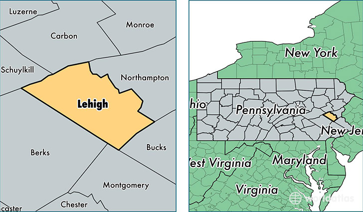
Lehigh County is a county equivalent area found in Pennsylvania, USA. The county government of Lehigh is found in the county seat of Allentown.
With a total 901.94 sq. km of land and water area, Lehigh County, Pennsylvania is the 2736th largest county equivalent area in the United States. Home to 357,823 people, Lehigh County has a total 142775 households earning 54923 on average per year.
Lehigh County, Pennsylvania offers the following attractions to visitors: Washington Crossing Historic Park, Dorney Park and Wildwater Kingdom
Lehigh County, Pennsylvania - Quick Facts
| FIPS Code | 42077 |
| Area Codes | 610 |
| Time Zone | EST |
| Major Cities | Allentown (population: 168,808), Bethlehem (population: 32,784), Whitehall (population: 27,344), Macungie (population: 24,729), Emmaus (population: 17,626), Coopersburg (population: 13,003), Slatington (population: 11,644), Catasauqua (population: 9,405), Center Valley (population: 8,391), Orefield (population: 8,148) |
| Land Area | 138,156 sq miles |
| Water Area | 345 sq miles |
| Household Income | $54,923 |
| Housing Units | 142,775 |
| Median Home Value | $196,600 |
| High School Grads | 87% of population |
| Holders of Bachelors Degrees | 28% of population |
| Retail Spending | $15,047 per capita |
| Food & Accomodation Sales | $546,275 per capita |
| Universities and Colleges | Pennsylvania State University-Penn State Lehigh Valley |
This page was last updated on June 30, 2016.