Where is Lebanon County, Pennsylvania?
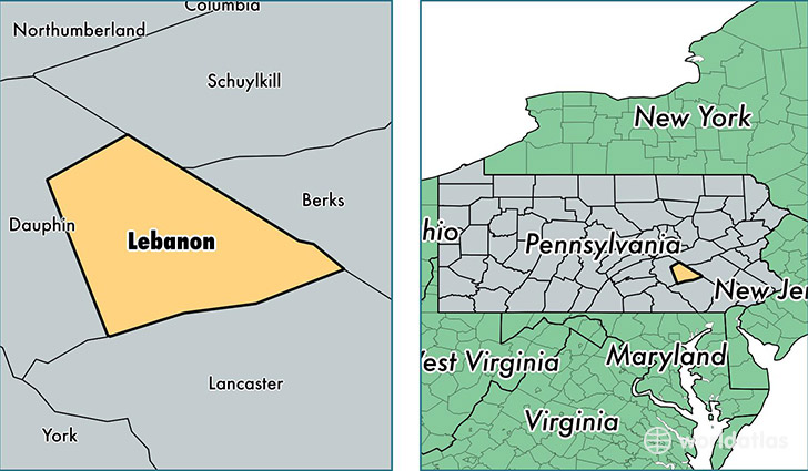
Lebanon County is a county equivalent area found in Pennsylvania, USA. The county government of Lebanon is found in the county seat of Lebanon.
With a total 938.87 sq. km of land and water area, Lebanon County, Pennsylvania is the 2706th largest county equivalent area in the United States. Home to 136,359 people, Lebanon County has a total 55699 households earning 54818 on average per year.
Lebanon County, Pennsylvania - Quick Facts
| FIPS Code | 42075 |
| Area Codes | 717,610 |
| Time Zone | EST |
| Major Cities | Lebanon (population: 67,765), Palmyra (population: 20,463), Myerstown (population: 14,397), Annville (population: 11,867), Jonestown (population: 8,322), Newmanstown (population: 5,337), Fredericksburg (population: 3,659), Richland (population: 2,796), Schaefferstown (population: 833), Cornwall (population: 809) |
| Land Area | 52,648 sq miles |
| Water Area | 362 sq miles |
| Household Income | $54,818 |
| Housing Units | 55,699 |
| Median Home Value | $164,300 |
| High School Grads | 86% of population |
| Holders of Bachelors Degrees | 19% of population |
| Retail Spending | $11,612 per capita |
| Food & Accomodation Sales | $125,336 per capita |
This page was last updated on June 30, 2016.