Where is Juniata County, Pennsylvania?
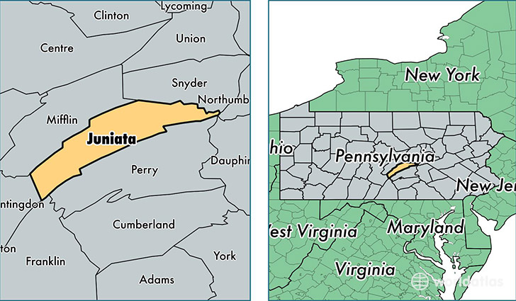
Juniata County is a county equivalent area found in Pennsylvania, USA. The county government of Juniata is found in the county seat of Mifflintown.
With a total 1,019.2 sq. km of land and water area, Juniata County, Pennsylvania is the 2628th largest county equivalent area in the United States. Home to 24,796 people, Juniata County has a total 10941 households earning 46163 on average per year.
Juniata County, Pennsylvania - Quick Facts
| FIPS Code | 42067 |
| Area Codes | 717 |
| Time Zone | EST |
| Major Cities | Mifflintown (population: 7,661), Port Royal (population: 3,627), McAlisterville (population: 3,396), Thompsontown (population: 2,418), Mifflin (population: 1,929), East Waterford (population: 1,098), Honey Grove (population: 847), Mexico (population: 129), Oakland Mills (population: 48) |
| Land Area | 9,574 sq miles |
| Water Area | 392 sq miles |
| Household Income | $46,163 |
| Housing Units | 10,941 |
| Median Home Value | $138,200 |
| High School Grads | 83% of population |
| Holders of Bachelors Degrees | 12% of population |
| Retail Spending | $8,560 per capita |
| Food & Accomodation Sales | $14,597 per capita |
This page was last updated on June 30, 2016.