Where is Indiana County, Pennsylvania?
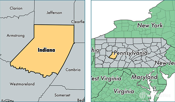
Indiana County is a county equivalent area found in Pennsylvania, USA. The county government of Indiana is found in the county seat of Indiana.
With a total 2,160.81 sq. km of land and water area, Indiana County, Pennsylvania is the 1108th largest county equivalent area in the United States. Home to 87,706 people, Indiana County has a total 38296 households earning 43997 on average per year.
Indiana County, Pennsylvania - Quick Facts
| FIPS Code | 42063 |
| Area Codes | 724,814 |
| Time Zone | EST |
| Major Cities | Indiana (population: 34,445), Blairsville (population: 10,772), Homer City (population: 7,007), Saltsburg (population: 5,208), Clymer (population: 3,673), New Florence (population: 3,451), Shelocta (population: 3,006), Marion Center (population: 2,981), Seward (population: 2,398), Cherry Tree (population: 2,393) |
| Land Area | 33,863 sq miles |
| Water Area | 827 sq miles |
| Household Income | $43,997 |
| Housing Units | 38,296 |
| Median Home Value | $103,000 |
| High School Grads | 88% of population |
| Holders of Bachelors Degrees | 22% of population |
| Retail Spending | $14,627 per capita |
| Food & Accomodation Sales | $92,360 per capita |
| Universities and Colleges | Indiana University of Pennsylvania-Main Campus |
This page was last updated on June 30, 2016.