Where is Franklin County, Pennsylvania?
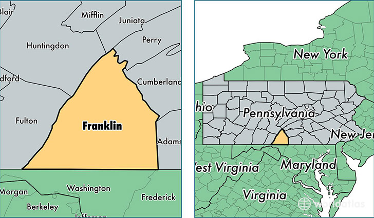
Franklin County is a county equivalent area found in Pennsylvania, USA. The county government of Franklin is found in the county seat of Chambersburg.
With a total 2,001.6 sq. km of land and water area, Franklin County, Pennsylvania is the 1232nd largest county equivalent area in the United States. Home to 152,892 people, Franklin County has a total 63762 households earning 52637 on average per year.
Franklin County, Pennsylvania - Quick Facts
| FIPS Code | 42055 |
| Area Codes | 717 |
| Time Zone | EST |
| Major Cities | Chambersburg (population: 56,107), Waynesboro (population: 28,598), Greencastle (population: 19,088), Fayetteville (population: 10,861), Mercersburg (population: 8,989), Saint Thomas (population: 3,647), Orrstown (population: 2,433), Mont Alto (population: 1,938), Fort Loudon (population: 1,854), Spring Run (population: 1,478) |
| Land Area | 59,032 sq miles |
| Water Area | 772 sq miles |
| Household Income | $52,637 |
| Housing Units | 63,762 |
| Median Home Value | $177,500 |
| High School Grads | 85% of population |
| Holders of Bachelors Degrees | 19% of population |
| Retail Spending | $12,323 per capita |
| Food & Accomodation Sales | $164,527 per capita |
This page was last updated on June 30, 2016.