Where is Clarion County, Pennsylvania?
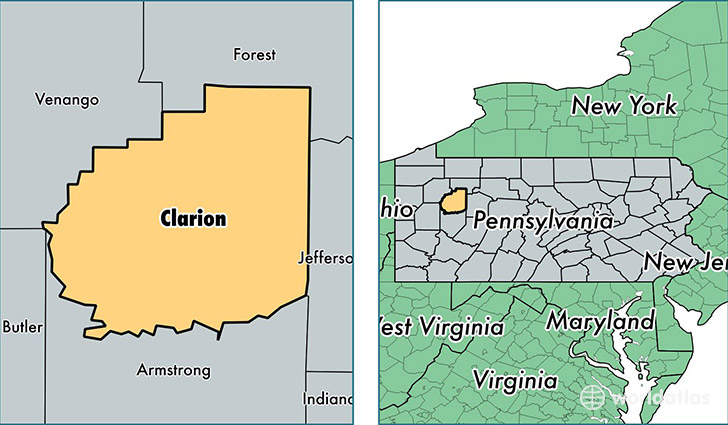
Clarion County is a county equivalent area found in Pennsylvania, USA. The county government of Clarion is found in the county seat of Clarion.
With a total 1,579.49 sq. km of land and water area, Clarion County, Pennsylvania is the 1711th largest county equivalent area in the United States. Home to 38,821 people, Clarion County has a total 19801 households earning 42389 on average per year.
Clarion County, Pennsylvania - Quick Facts
| FIPS Code | 42031 |
| Area Codes | 724,814 |
| Time Zone | EST |
| Major Cities | Clarion (population: 10,040), New Bethlehem (population: 4,654), Knox (population: 4,244), Shippenville (population: 3,441), Parker (population: 3,229), Rimersburg (population: 3,103), Sligo (population: 1,926), Strattanville (population: 1,853), Lucinda (population: 1,245), Leeper (population: 1,235) |
| Land Area | 14,989 sq miles |
| Water Area | 601 sq miles |
| Household Income | $42,389 |
| Housing Units | 19,801 |
| Median Home Value | $106,200 |
| High School Grads | 88% of population |
| Holders of Bachelors Degrees | 19% of population |
| Retail Spending | $10,563 per capita |
| Food & Accomodation Sales | $51,159 per capita |
This page was last updated on June 30, 2016.