Where is Sherman County, Oregon?
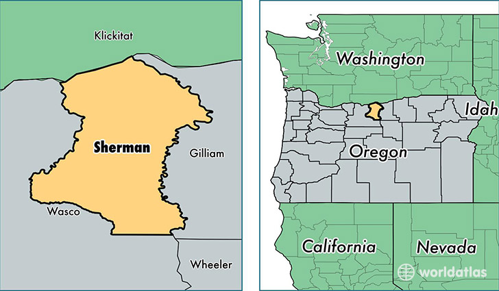
Sherman County is a county equivalent area found in Oregon, USA. The county government of Sherman is found in the county seat of Moro.
With a total 2,152.75 sq. km of land and water area, Sherman County, Oregon is the 1113th largest county equivalent area in the United States. Home to 1,710 people, Sherman County has a total 904 households earning 42639 on average per year.
Sherman County, Oregon - Quick Facts
| FIPS Code | 41055 |
| Area Codes | 541 |
| Time Zone | PST |
| Major Cities | Wasco (population: 663), Moro (population: 463), Grass Valley (population: 279), Rufus (population: 266), Kent (population: 58) |
| Land Area | 660 sq miles |
| Water Area | 824 sq miles |
| Household Income | $42,639 |
| Housing Units | 904 |
| Median Home Value | $135,400 |
| High School Grads | 92% of population |
| Holders of Bachelors Degrees | 17% of population |
| Retail Spending | $33,162 per capita |
| Food & Accomodation Sales | $5,895 per capita |
This page was last updated on June 30, 2016.