Where is Multnomah County, Oregon?
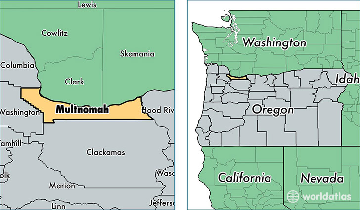
Multnomah County is a county equivalent area found in Oregon, USA. The county government of Multnomah is found in the county seat of Portland.
With a total 1,205.91 sq. km of land and water area, Multnomah County, Oregon is the 2301st largest county equivalent area in the United States. Home to 776,712 people, Multnomah County has a total 326871 households earning 52511 on average per year.
Multnomah County, Oregon offers the following attractions to visitors: USS Blueback (SS-581), Oregon Historical Society Museum, Pittock Mansion
Multnomah is the home to this professional sports team: Portland Trailblazers (NBA)
Multnomah County, Oregon - Quick Facts
| FIPS Code | 41051 |
| Area Codes | 503,541 |
| Time Zone | PST |
| Major Cities | Portland (population: 635,659), Gresham (population: 80,104), Troutdale (population: 21,916), Fairview (population: 10,575), Corbett (population: 3,262), Cascade Locks (population: 1,304) |
| Land Area | 299,890 sq miles |
| Water Area | 431 sq miles |
| Household Income | $52,511 |
| Housing Units | 326,871 |
| Median Home Value | $271,600 |
| High School Grads | 90% of population |
| Holders of Bachelors Degrees | 40% of population |
| Retail Spending | $14,157 per capita |
| Food & Accomodation Sales | $2,048,635 per capita |
| Universities and Colleges | Concordia University, ITT Technical Institute-Portland, Lewis & Clark College, National College of Natural Medicine, Pacific Northwest College of Art, Portland State University, Western States Chiropractic College, Oregon College of Oriental Medicine, Western Culinary Institute |
This page was last updated on June 30, 2016.