Where is Wagoner County, Oklahoma?
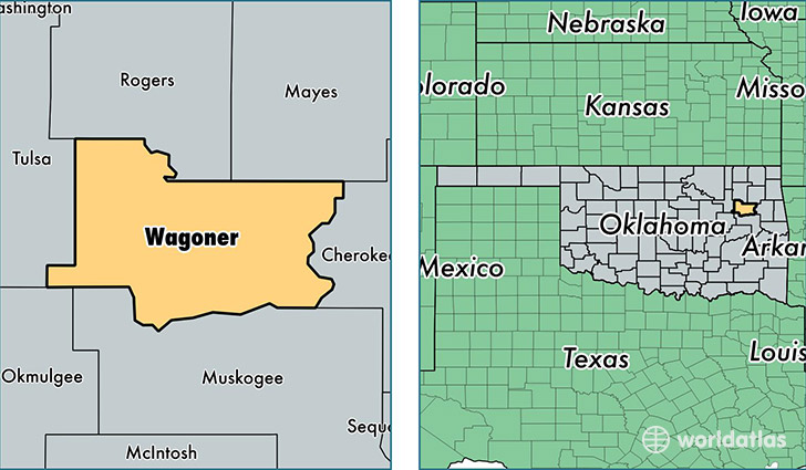
Wagoner County is a county equivalent area found in Oklahoma, USA. The county government of Wagoner is found in the county seat of Wagoner.
With a total 1,529.83 sq. km of land and water area, Wagoner County, Oklahoma is the 1778th largest county equivalent area in the United States. Home to 75,702 people, Wagoner County has a total 30300 households earning 55723 on average per year.
Wagoner County, Oklahoma - Quick Facts
| FIPS Code | 40145 |
| Area Codes | 918 |
| Time Zone | CST |
| Major Cities | Broken Arrow (population: 35,487), Wagoner (population: 15,399), Coweta (population: 14,829), Porter (population: 3,263), Okay (population: 572), Redbird (population: 150) |
| Land Area | 29,229 sq miles |
| Water Area | 561 sq miles |
| Household Income | $55,723 |
| Housing Units | 30,300 |
| Median Home Value | $138,400 |
| High School Grads | 89% of population |
| Holders of Bachelors Degrees | 22% of population |
| Retail Spending | $4,112 per capita |
| Food & Accomodation Sales | $30,694 per capita |
This page was last updated on June 30, 2016.