Where is Rogers County, Oklahoma?
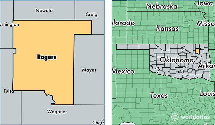
Rogers County is a county equivalent area found in Oklahoma, USA. The county government of Rogers is found in the county seat of Claremore.
With a total 1,842.77 sq. km of land and water area, Rogers County, Oklahoma is the 1416th largest county equivalent area in the United States. Home to 89,815 people, Rogers County has a total 35817 households earning 58525 on average per year.
Rogers County, Oklahoma - Quick Facts
| FIPS Code | 40131 |
| Area Codes | 918 |
| Time Zone | CST |
| Major Cities | Claremore (population: 46,473), Catoosa (population: 8,220), Inola (population: 6,843), Chelsea (population: 6,090), Oologah (population: 4,387), Talala (population: 2,875) |
| Land Area | 34,678 sq miles |
| Water Area | 676 sq miles |
| Household Income | $58,525 |
| Housing Units | 35,817 |
| Median Home Value | $143,600 |
| High School Grads | 90% of population |
| Holders of Bachelors Degrees | 23% of population |
| Retail Spending | $7,979 per capita |
| Food & Accomodation Sales | $62,433 per capita |
This page was last updated on June 30, 2016.