Where is Okfuskee County, Oklahoma?
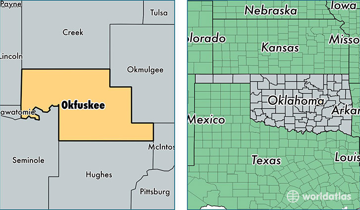
Okfuskee County is a county equivalent area found in Oklahoma, USA. The county government of Okfuskee is found in the county seat of Okemah.
With a total 1,628.77 sq. km of land and water area, Okfuskee County, Oklahoma is the 1644th largest county equivalent area in the United States. Home to 12,186 people, Okfuskee County has a total 5277 households earning 35170 on average per year.
Okfuskee County, Oklahoma - Quick Facts
| FIPS Code | 40107 |
| Area Codes | 918,405 |
| Time Zone | CST |
| Major Cities | Okemah (population: 6,301), Weleetka (population: 2,266), Paden (population: 1,675), Boley (population: 1,541), Castle (population: 712) |
| Land Area | 4,705 sq miles |
| Water Area | 619 sq miles |
| Household Income | $35,170 |
| Housing Units | 5,277 |
| Median Home Value | $69,300 |
| High School Grads | 80% of population |
| Holders of Bachelors Degrees | 11% of population |
| Retail Spending | $5,774 per capita |
| Food & Accomodation Sales | $2,273 per capita |
This page was last updated on June 30, 2016.