Where is Nowata County, Oklahoma?
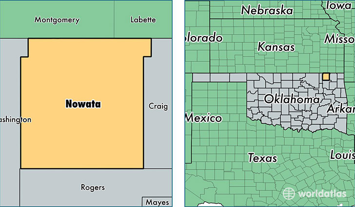
Nowata County is a county equivalent area found in Oklahoma, USA. The county government of Nowata is found in the county seat of Nowata.
With a total 1,504.23 sq. km of land and water area, Nowata County, Oklahoma is the 1825th largest county equivalent area in the United States. Home to 10,524 people, Nowata County has a total 4792 households earning 39430 on average per year.
Nowata County, Oklahoma - Quick Facts
| FIPS Code | 40105 |
| Area Codes | 918 |
| Time Zone | CST |
| Major Cities | Nowata (population: 6,135), South Coffeyville (population: 1,828), Wann (population: 1,039), Delaware (population: 1,022), Lenapah (population: 543) |
| Land Area | 4,063 sq miles |
| Water Area | 566 sq miles |
| Household Income | $39,430 |
| Housing Units | 4,792 |
| Median Home Value | $74,300 |
| High School Grads | 84% of population |
| Holders of Bachelors Degrees | 14% of population |
| Retail Spending | $2,325 per capita |
| Food & Accomodation Sales | $3,954 per capita |
This page was last updated on June 30, 2016.