Where is Cotton County, Oklahoma?
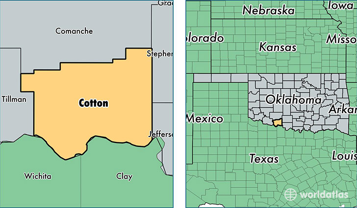
Cotton County is a county equivalent area found in Oklahoma, USA. The county government of Cotton is found in the county seat of Walters.
With a total 1,662.66 sq. km of land and water area, Cotton County, Oklahoma is the 1600th largest county equivalent area in the United States. Home to 6,150 people, Cotton County has a total 3000 households earning 46317 on average per year.
Cotton County, Oklahoma - Quick Facts
| FIPS Code | 40033 |
| Area Codes | 580 |
| Time Zone | CST |
| Major Cities | Walters (population: 3,676), Temple (population: 1,174), Randlett (population: 767), Devol (population: 398) |
| Land Area | 2,375 sq miles |
| Water Area | 633 sq miles |
| Household Income | $46,317 |
| Housing Units | 3,000 |
| Median Home Value | $74,600 |
| High School Grads | 86% of population |
| Holders of Bachelors Degrees | 15% of population |
| Retail Spending | $5,256 per capita |
This page was last updated on June 30, 2016.