Where is Canadian County, Oklahoma?
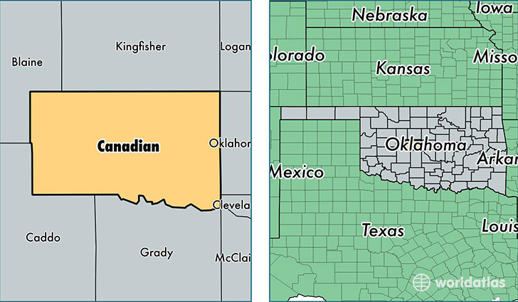
Canadian County is a county equivalent area found in Oklahoma, USA. The county government of Canadian is found in the county seat of El Reno.
With a total 2,345.49 sq. km of land and water area, Canadian County, Oklahoma is the 940th largest county equivalent area in the United States. Home to 129,582 people, Canadian County has a total 46524 households earning 63629 on average per year.
Canadian County, Oklahoma - Quick Facts
| FIPS Code | 40017 |
| Area Codes | 405 |
| Time Zone | CST |
| Major Cities | Yukon (population: 60,984), Mustang (population: 21,863), El Reno (population: 19,724), Piedmont (population: 8,258), Calumet (population: 1,517), Union City (population: 1,270), Concho (population: 102) |
| Land Area | 50,032 sq miles |
| Water Area | 897 sq miles |
| Household Income | $63,629 |
| Housing Units | 46,524 |
| Median Home Value | $139,200 |
| High School Grads | 92% of population |
| Holders of Bachelors Degrees | 25% of population |
| Retail Spending | $10,685 per capita |
| Food & Accomodation Sales | $102,239 per capita |
This page was last updated on June 30, 2016.