Where is Wyandot County, Ohio?
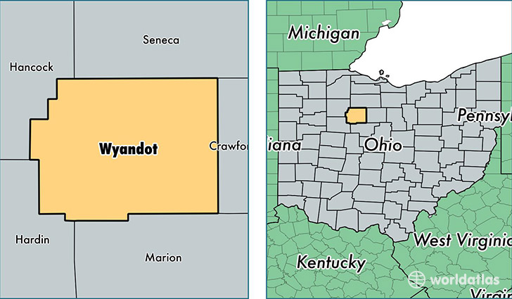
Wyandot County is a county equivalent area found in Ohio, USA. The county government of Wyandot is found in the county seat of Upper Sandusky.
With a total 1,055.56 sq. km of land and water area, Wyandot County, Ohio is the 2560th largest county equivalent area in the United States. Home to 22,353 people, Wyandot County has a total 9838 households earning 44448 on average per year.
Wyandot County, Ohio - Quick Facts
| FIPS Code | 39175 |
| Area Codes | 419,740 |
| Time Zone | EST |
| Major Cities | Upper Sandusky (population: 10,432), Carey (population: 6,033), Sycamore (population: 2,891), Nevada (population: 2,249), Wharton (population: 818), McCutchenville (population: 759), Harpster (population: 679), Kirby (population: 117) |
| Land Area | 8,631 sq miles |
| Water Area | 407 sq miles |
| Household Income | $44,448 |
| Housing Units | 9,838 |
| Median Home Value | $103,500 |
| High School Grads | 90% of population |
| Holders of Bachelors Degrees | 12% of population |
| Retail Spending | $8,460 per capita |
| Food & Accomodation Sales | $21,803 per capita |
This page was last updated on June 30, 2016.