Where is Van Wert County, Ohio?
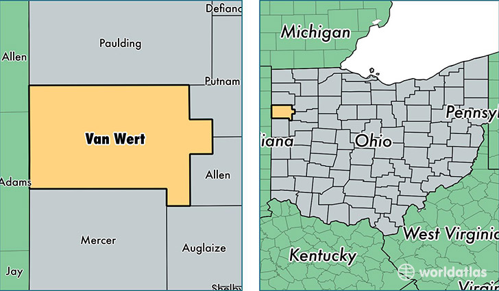
Van Wert County is a county equivalent area found in Ohio, USA. The county government of Van Wert is found in the county seat of Van Wert.
With a total 1,062.98 sq. km of land and water area, Van Wert County, Ohio is the 2543rd largest county equivalent area in the United States. Home to 28,462 people, Van Wert County has a total 12663 households earning 45355 on average per year.
Van Wert County, Ohio - Quick Facts
| FIPS Code | 39161 |
| Area Codes | 419 |
| Time Zone | EST |
| Major Cities | Van Wert (population: 15,275), Convoy (population: 2,904), Ohio City (population: 2,100), Willshire (population: 1,314), Middle Point (population: 1,254), Venedocia (population: 605), Scott (population: 546), Wren (population: 194), Elgin (population: 50) |
| Land Area | 10,989 sq miles |
| Water Area | 409 sq miles |
| Household Income | $45,355 |
| Housing Units | 12,663 |
| Median Home Value | $88,600 |
| High School Grads | 91% of population |
| Holders of Bachelors Degrees | 15% of population |
| Retail Spending | $8,403 per capita |
| Food & Accomodation Sales | $25,464 per capita |
This page was last updated on June 30, 2016.