Where is Perry County, Ohio?
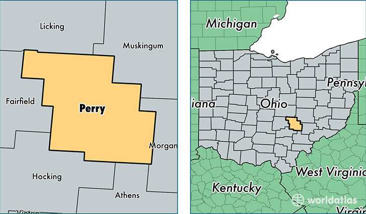
Perry County is a county equivalent area found in Ohio, USA. The county government of Perry is found in the county seat of New Lexington.
With a total 1,068.34 sq. km of land and water area, Perry County, Ohio is the 2527th largest county equivalent area in the United States. Home to 35,812 people, Perry County has a total 15063 households earning 41446 on average per year.
Perry County, Ohio - Quick Facts
| FIPS Code | 39127 |
| Area Codes | 740 |
| Time Zone | EST |
| Major Cities | Thornville (population: 9,079), New Lexington (population: 8,555), Crooksville (population: 5,447), Somerset (population: 4,698), Junction City (population: 2,751), Corning (population: 2,500), Glenford (population: 2,028), Mount Perry (population: 1,829), New Straitsville (population: 1,645), Shawnee (population: 847) |
| Land Area | 13,827 sq miles |
| Water Area | 408 sq miles |
| Household Income | $41,446 |
| Housing Units | 15,063 |
| Median Home Value | $93,100 |
| High School Grads | 84% of population |
| Holders of Bachelors Degrees | 10% of population |
| Retail Spending | $3,894 per capita |
| Food & Accomodation Sales | $13,814 per capita |
This page was last updated on June 30, 2016.