Where is Marion County, Ohio?
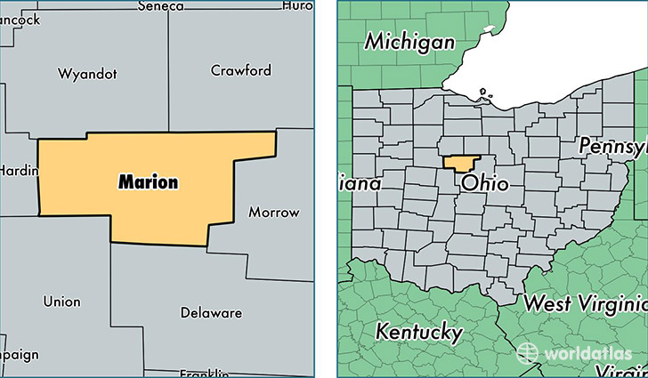
Marion County is a county equivalent area found in Ohio, USA. The county government of Marion is found in the county seat of Marion.
With a total 1,046.64 sq. km of land and water area, Marion County, Ohio is the 2583rd largest county equivalent area in the United States. Home to 65,720 people, Marion County has a total 27694 households earning 42572 on average per year.
Marion County, Ohio - Quick Facts
| FIPS Code | 39101 |
| Area Codes | 740,419 |
| Time Zone | EST |
| Major Cities | Marion (population: 54,570), Prospect (population: 3,218), Caledonia (population: 3,160), La Rue (population: 2,312), Morral (population: 1,103), Waldo (population: 1,102), New Bloomington (population: 903), Green Camp (population: 372) |
| Land Area | 25,375 sq miles |
| Water Area | 404 sq miles |
| Household Income | $42,572 |
| Housing Units | 27,694 |
| Median Home Value | $98,600 |
| High School Grads | 86% of population |
| Holders of Bachelors Degrees | 12% of population |
| Retail Spending | $10,301 per capita |
| Food & Accomodation Sales | $79,053 per capita |
This page was last updated on June 30, 2016.