Where is Franklin County, Ohio?
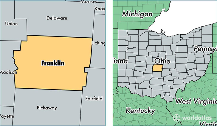
Franklin County is a county equivalent area found in Ohio, USA. The county government of Franklin is found in the county seat of Columbus.
With a total 1,407.68 sq. km of land and water area, Franklin County, Ohio is the 2025th largest county equivalent area in the United States. Home to 1,231,393 people, Franklin County has a total 535094 households earning 50877 on average per year.
Franklin County, Ohio offers the following attractions to visitors: COSI Columbus, Wexner Center for the Arts
Franklin is the home to this professional sports team: Columbus Blue Jackets (NHL)
Franklin County, Ohio - Quick Facts
| FIPS Code | 39049 |
| Area Codes | 614 |
| Time Zone | EST |
| Major Cities | Columbus (population: 801,332), Dublin (population: 70,849), Grove City (population: 60,037), Westerville (population: 57,536), Hilliard (population: 55,507), Reynoldsburg (population: 52,892), Canal Winchester (population: 34,644), Galloway (population: 28,441), Blacklick (population: 23,354), New Albany (population: 21,133) |
| Land Area | 475,443 sq miles |
| Water Area | 532 sq miles |
| Household Income | $50,877 |
| Housing Units | 535,094 |
| Median Home Value | $150,800 |
| High School Grads | 90% of population |
| Holders of Bachelors Degrees | 36% of population |
| Retail Spending | $17,288 per capita |
| Food & Accomodation Sales | $2,596,341 per capita |
| Universities and Colleges | Bradford School, Mount Carmel College of Nursing, Ohio State School of Cosmetology, Otterbein College, Academy of Court Reporting-Columbus, Nationwide Beauty Academy, Bohecker College-Columbus |
This page was last updated on June 30, 2016.