Where is Carroll County, Ohio?
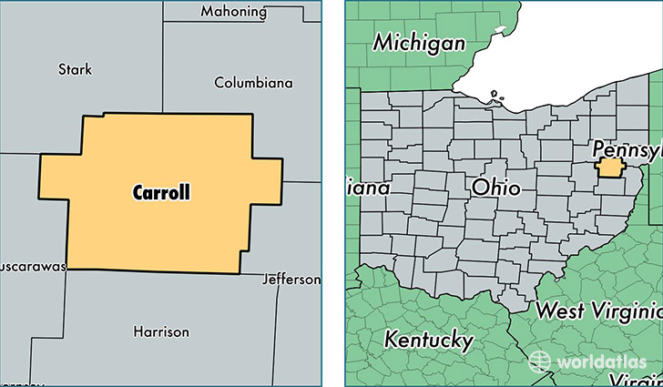
Carroll County is a county equivalent area found in Ohio, USA. The county government of Carroll is found in the county seat of Carrollton.
With a total 1,033.22 sq. km of land and water area, Carroll County, Ohio is the 2605th largest county equivalent area in the United States. Home to 28,187 people, Carroll County has a total 13535 households earning 43779 on average per year.
Carroll County, Ohio - Quick Facts
| FIPS Code | 39019 |
| Area Codes | 740,330 |
| Time Zone | EST |
| Major Cities | Carrollton (population: 11,028), Malvern (population: 4,749), Amsterdam (population: 2,176), Sherrodsville (population: 2,066), Dellroy (population: 1,553), Mechanicstown (population: 853), Augusta (population: 231) |
| Land Area | 10,883 sq miles |
| Water Area | 395 sq miles |
| Household Income | $43,779 |
| Housing Units | 13,535 |
| Median Home Value | $110,400 |
| High School Grads | 85% of population |
| Holders of Bachelors Degrees | 11% of population |
| Retail Spending | $5,687 per capita |
| Food & Accomodation Sales | $18,879 per capita |
This page was last updated on June 30, 2016.