Where is Wyoming County, New York?
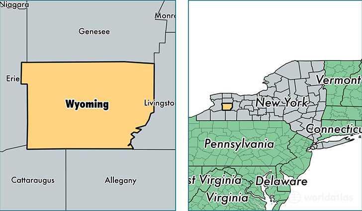
Wyoming County is a county equivalent area found in New York, USA. The county government of Wyoming is found in the county seat of Warsaw.
With a total 1,544.38 sq. km of land and water area, Wyoming County, New York is the 1754th largest county equivalent area in the United States. Home to 41,188 people, Wyoming County has a total 17814 households earning 51100 on average per year.
Wyoming County, New York - Quick Facts
| FIPS Code | 36121 |
| Area Codes | 585 |
| Time Zone | EST |
| Major Cities | Attica (population: 9,763), Warsaw (population: 6,172), Arcade (population: 5,633), Perry (population: 5,540), Castile (population: 1,951), Wyoming (population: 1,737), Bliss (population: 1,677), Varysburg (population: 1,652), Strykersville (population: 1,608), Silver Springs (population: 1,527) |
| Land Area | 15,903 sq miles |
| Water Area | 593 sq miles |
| Household Income | $51,100 |
| Housing Units | 17,814 |
| Median Home Value | $100,200 |
| High School Grads | 86% of population |
| Holders of Bachelors Degrees | 15% of population |
| Retail Spending | $8,078 per capita |
| Food & Accomodation Sales | $31,074 per capita |
This page was last updated on June 30, 2016.