Where is Westchester County, New York?
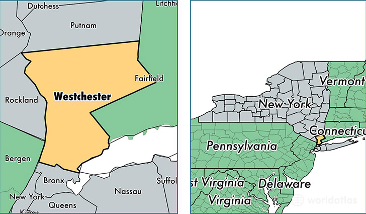
Westchester County is a county equivalent area found in New York, USA. The county government of Westchester is found in the county seat of White Plains.
With a total 1,294.98 sq. km of land and water area, Westchester County, New York is the 2183rd largest county equivalent area in the United States. Home to 972,634 people, Westchester County has a total 369243 households earning 81946 on average per year.
Westchester County, New York offers the following attractions to visitors: Rye Playland, Saint Paul's Church NHS
Westchester County, New York - Quick Facts
| FIPS Code | 36119 |
| Area Codes | 914 |
| Time Zone | EST |
| Major Cities | Yonkers (population: 180,106), New Rochelle (population: 74,357), White Plains (population: 70,792), Mount Vernon (population: 67,986), Scarsdale (population: 39,497), Port Chester (population: 38,859), Ossining (population: 32,216), Yorktown Heights (population: 29,026), Peekskill (population: 23,881), Tarrytown (population: 22,838) |
| Land Area | 375,536 sq miles |
| Water Area | 431 sq miles |
| Household Income | $81,946 |
| Housing Units | 369,243 |
| Median Home Value | $518,400 |
| High School Grads | 88% of population |
| Holders of Bachelors Degrees | 45% of population |
| Retail Spending | $15,007 per capita |
| Food & Accomodation Sales | $1,799,292 per capita |
| Universities and Colleges | Cochran School of Nursing, Marymount College of Fordham University, Monroe College-New Rochelle, New York Medical College, Sarah Lawrence College, Saint Josephs Seminary and College, Yeshiva of Nitra Rabbinical College, Long Island University-Westchester Campus |
This page was last updated on June 30, 2016.