Where is Tompkins County, New York?
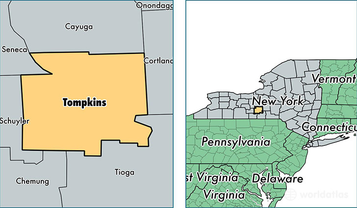
Tompkins County is a county equivalent area found in New York, USA. The county government of Tompkins is found in the county seat of Ithaca.
With a total 1,273.13 sq. km of land and water area, Tompkins County, New York is the 2213th largest county equivalent area in the United States. Home to 104,691 people, Tompkins County has a total 41802 households earning 51393 on average per year.
Tompkins County, New York - Quick Facts
| FIPS Code | 36109 |
| Area Codes | 607 |
| Time Zone | EST |
| Major Cities | Ithaca (population: 67,289), Trumansburg (population: 6,812), Groton (population: 6,484), Newfield (population: 5,623), Freeville (population: 5,420), Dryden (population: 5,060), Lansing (population: 3,863), Brooktondale (population: 2,400), Slaterville Springs (population: 193), Etna (population: 174) |
| Land Area | 40,421 sq miles |
| Water Area | 475 sq miles |
| Household Income | $51,393 |
| Housing Units | 41,802 |
| Median Home Value | $169,200 |
| High School Grads | 93% of population |
| Holders of Bachelors Degrees | 49% of population |
| Retail Spending | $10,141 per capita |
| Food & Accomodation Sales | $177,718 per capita |
| Universities and Colleges | Cornell University |
This page was last updated on June 30, 2016.