Where is Schoharie County, New York?
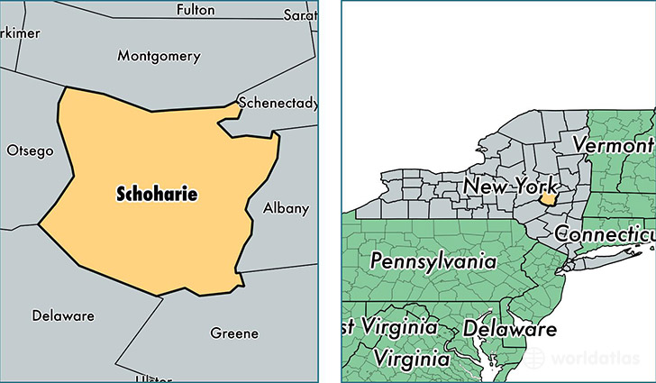
Schoharie County is a county equivalent area found in New York, USA. The county government of Schoharie is found in the county seat of Schoharie.
With a total 1,622.18 sq. km of land and water area, Schoharie County, New York is the 1648th largest county equivalent area in the United States. Home to 31,566 people, Schoharie County has a total 17138 households earning 53245 on average per year.
Schoharie County, New York - Quick Facts
| FIPS Code | 36095 |
| Area Codes | 518,607 |
| Time Zone | EST |
| Major Cities | Cobleskill (population: 8,340), Schoharie (population: 3,981), Richmondville (population: 2,424), Sharon Springs (population: 2,179), Jefferson (population: 1,634), Gilboa (population: 1,470), Howes Cave (population: 1,278), Sloansville (population: 925), Central Bridge (population: 786), Summit (population: 781) |
| Land Area | 12,188 sq miles |
| Water Area | 622 sq miles |
| Household Income | $53,245 |
| Housing Units | 17,138 |
| Median Home Value | $146,000 |
| High School Grads | 88% of population |
| Holders of Bachelors Degrees | 19% of population |
| Retail Spending | $8,422 per capita |
| Food & Accomodation Sales | $21,552 per capita |
| Universities and Colleges | SUNY College of Agriculture and Technology at Cobleskill |
This page was last updated on June 30, 2016.