Where is Saint Lawrence County, New York?
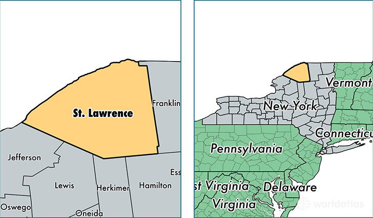
Saint Lawrence County is a county equivalent area found in New York, USA. The county government of Saint Lawrence is found in the county seat of Canton.
With a total 7,307.49 sq. km of land and water area, Saint Lawrence County, New York is the 197th largest county equivalent area in the United States. Home to 111,400 people, Saint Lawrence County has a total 51978 households earning 43647 on average per year.
Saint Lawrence County, New York - Quick Facts
| FIPS Code | 36089 |
| Area Codes | 518,315 |
| Time Zone | EST |
| Major Cities | Potsdam (population: 16,688), Massena (population: 16,624), Ogdensburg (population: 16,494), Canton (population: 11,328), Gouverneur (population: 10,115), Norwood (population: 3,337), Norfolk (population: 3,189), Brasher Falls (population: 2,733), Heuvelton (population: 2,467), Harrisville (population: 2,433) |
| Land Area | 43,012 sq miles |
| Water Area | 2,680 sq miles |
| Household Income | $43,647 |
| Housing Units | 51,978 |
| Median Home Value | $84,400 |
| High School Grads | 87% of population |
| Holders of Bachelors Degrees | 20% of population |
| Retail Spending | $11,304 per capita |
| Food & Accomodation Sales | $116,630 per capita |
| Universities and Colleges | Clarkson University, SUNY College of Technology at Canton, SUNY College at Potsdam |
This page was last updated on June 30, 2016.