Where is Ontario County, New York?
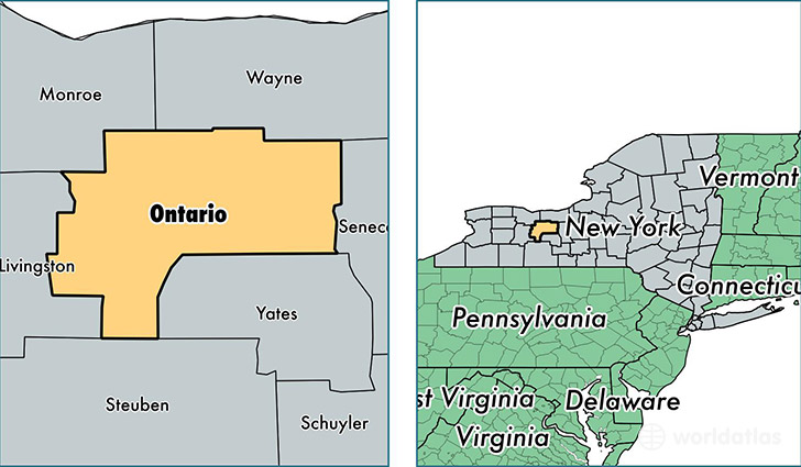
Ontario County is a county equivalent area found in New York, USA. The county government of Ontario is found in the county seat of Canandaigua.
With a total 1,715.94 sq. km of land and water area, Ontario County, New York is the 1533rd largest county equivalent area in the United States. Home to 109,707 people, Ontario County has a total 48677 households earning 56479 on average per year.
Ontario County, New York - Quick Facts
| FIPS Code | 36069 |
| Area Codes | 585,315 |
| Time Zone | EST |
| Major Cities | Canandaigua (population: 27,154), Geneva (population: 20,190), Victor (population: 14,565), Farmington (population: 10,775), Bloomfield (population: 6,253), Clifton Springs (population: 5,757), Naples (population: 4,740), Phelps (population: 4,454), Shortsville (population: 4,272), Stanley (population: 3,102) |
| Land Area | 42,358 sq miles |
| Water Area | 644 sq miles |
| Household Income | $56,479 |
| Housing Units | 48,677 |
| Median Home Value | $138,100 |
| High School Grads | 92% of population |
| Holders of Bachelors Degrees | 32% of population |
| Retail Spending | $18,243 per capita |
| Food & Accomodation Sales | $206,314 per capita |
| Universities and Colleges | Hobart William Smith Colleges |
This page was last updated on June 30, 2016.