Where is Onondaga County, New York?
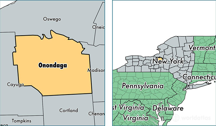
Onondaga County is a county equivalent area found in New York, USA. The county government of Onondaga is found in the county seat of Syracuse.
With a total 2,086.54 sq. km of land and water area, Onondaga County, New York is the 1161st largest county equivalent area in the United States. Home to 468,196 people, Onondaga County has a total 203689 households earning 54242 on average per year.
Onondaga County, New York - Quick Facts
| FIPS Code | 36067 |
| Area Codes | 315 |
| Time Zone | EST |
| Major Cities | Syracuse (population: 229,713), Liverpool (population: 52,259), Baldwinsville (population: 31,625), Cicero (population: 17,530), Manlius (population: 15,560), Camillus (population: 15,545), East Syracuse (population: 14,986), Fayetteville (population: 12,385), Clay (population: 10,701), Jamesville (population: 9,862) |
| Land Area | 180,771 sq miles |
| Water Area | 778 sq miles |
| Household Income | $54,242 |
| Housing Units | 203,689 |
| Median Home Value | $132,300 |
| High School Grads | 90% of population |
| Holders of Bachelors Degrees | 33% of population |
| Retail Spending | $14,048 per capita |
| Food & Accomodation Sales | $784,291 per capita |
| Universities and Colleges | Le Moyne College, Syracuse University |
This page was last updated on June 30, 2016.