Where is Allegany County, New York?
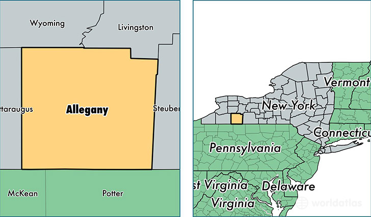
Allegany County is a county equivalent area found in New York, USA. The county government of Allegany is found in the county seat of Belmont.
With a total 2,679.05 sq. km of land and water area, Allegany County, New York is the 734th largest county equivalent area in the United States. Home to 47,736 people, Allegany County has a total 25892 households earning 42445 on average per year.
Allegany County, New York - Quick Facts
| FIPS Code | 36003 |
| Area Codes | 585,716,607 |
| Time Zone | EST |
| Major Cities | Wellsville (population: 9,500), Cuba (population: 5,385), Alfred (population: 4,085), Friendship (population: 2,868), Fillmore (population: 2,717), Bolivar (population: 2,713), Belmont (population: 2,489), Andover (population: 2,243), Houghton (population: 2,068), Belfast (population: 1,744) |
| Land Area | 18,431 sq miles |
| Water Area | 1,029 sq miles |
| Household Income | $42,445 |
| Housing Units | 25,892 |
| Median Home Value | $69,600 |
| High School Grads | 88% of population |
| Holders of Bachelors Degrees | 19% of population |
| Retail Spending | $5,626 per capita |
| Food & Accomodation Sales | $40,159 per capita |
| Universities and Colleges | Houghton College, SUNY College of Technology at Alfred |
This page was last updated on June 30, 2016.