Where is Humboldt County, Nevada?
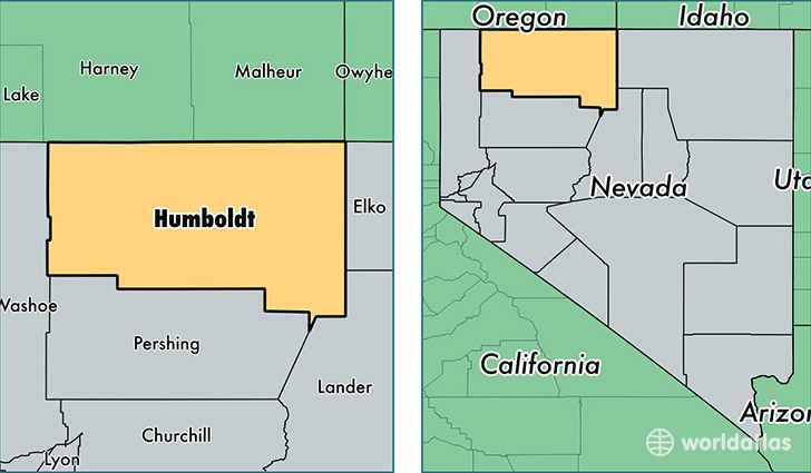
Humboldt County is a county equivalent area found in Nevada, USA. The county government of Humboldt is found in the county seat of Winnemucca.
With a total 25,013.72 sq. km of land and water area, Humboldt County, Nevada is the 30th largest county equivalent area in the United States. Home to 17,279 people, Humboldt County has a total 7169 households earning 59472 on average per year.
Humboldt County, Nevada - Quick Facts
| FIPS Code | 32013 |
| Area Codes | 775 |
| Time Zone | PST |
| Major Cities | Winnemucca (population: 16,619), McDermitt (population: 648), Orovada (population: 445), Golconda (population: 360), Paradise Valley (population: 214), Denio (population: 53), Valmy (population: 49) |
| Land Area | 6,671 sq miles |
| Water Area | 9,641 sq miles |
| Household Income | $59,472 |
| Housing Units | 7,169 |
| Median Home Value | $147,400 |
| High School Grads | 83% of population |
| Holders of Bachelors Degrees | 13% of population |
| Retail Spending | $18,936 per capita |
| Food & Accomodation Sales | $52,022 per capita |
This page was last updated on June 30, 2016.