Where is Valencia County, New Mexico?
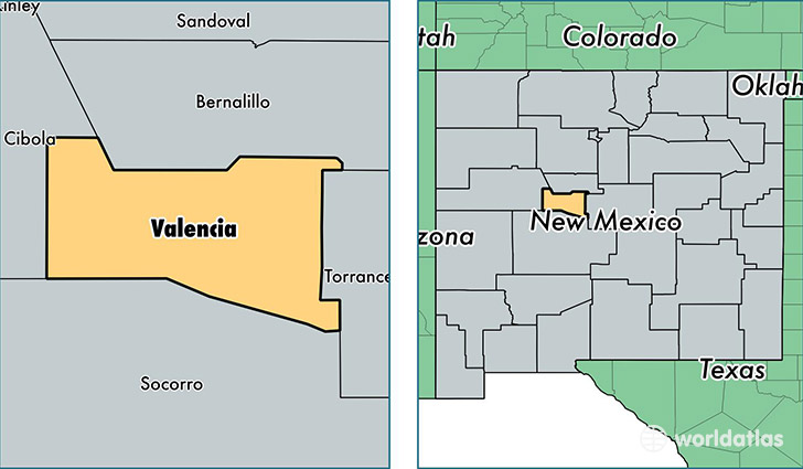
Valencia County is a county equivalent area found in New Mexico, USA. The county government of Valencia is found in the county seat of Los Lunas.
With a total 2,766.83 sq. km of land and water area, Valencia County, New Mexico is the 700th largest county equivalent area in the United States. Home to 75,817 people, Valencia County has a total 29956 households earning 42506 on average per year.
Valencia County, New Mexico - Quick Facts
| FIPS Code | 35061 |
| Area Codes | 505 |
| Time Zone | MST |
| Major Cities | Los Lunas (population: 44,110), Belen (population: 22,535), Bosque Farms (population: 4,758), Peralta (population: 3,646), Pueblo of Acoma (population: 2,216), Jarales (population: 665), Tome (population: 75) |
| Land Area | 29,273 sq miles |
| Water Area | 1,066 sq miles |
| Household Income | $42,506 |
| Housing Units | 29,956 |
| Median Home Value | $133,600 |
| High School Grads | 81% of population |
| Holders of Bachelors Degrees | 17% of population |
| Retail Spending | $7,995 per capita |
| Food & Accomodation Sales | $55,675 per capita |
| Universities and Colleges | University of New Mexico-Valencia County Branch |
This page was last updated on June 30, 2016.