Where is Rio Arriba County, New Mexico?
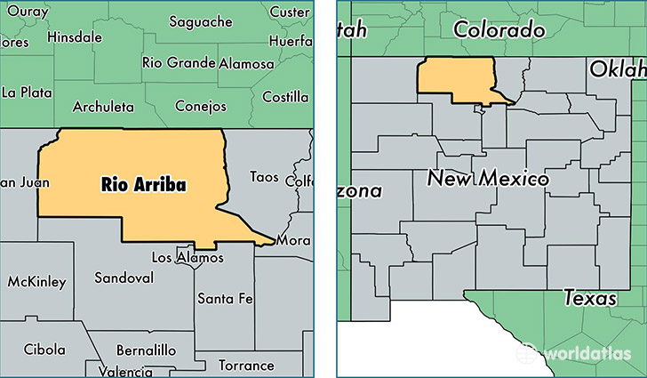
Rio Arriba County is a county equivalent area found in New Mexico, USA. The county government of Rio Arriba is found in the county seat of Tierra Amarilla.
With a total 15,270.96 sq. km of land and water area, Rio Arriba County, New Mexico is the 67th largest county equivalent area in the United States. Home to 39,777 people, Rio Arriba County has a total 19407 households earning 40250 on average per year.
Rio Arriba County, New Mexico - Quick Facts
| FIPS Code | 35039 |
| Area Codes | 575,505 |
| Time Zone | MST |
| Major Cities | Espanola (population: 18,515), Dulce (population: 3,423), Chimayo (population: 3,401), Ohkay Owingeh (population: 3,005), Hernandez (population: 2,962), Alcalde (population: 2,751), Chama (population: 1,421), Velarde (population: 1,352), Abiquiu (population: 1,097), El Rito (population: 975) |
| Land Area | 15,358 sq miles |
| Water Area | 5,861 sq miles |
| Household Income | $40,250 |
| Housing Units | 19,407 |
| Median Home Value | $133,300 |
| High School Grads | 79% of population |
| Holders of Bachelors Degrees | 16% of population |
| Retail Spending | $7,689 per capita |
| Food & Accomodation Sales | $66,753 per capita |
This page was last updated on June 30, 2016.