Where is Mora County, New Mexico?
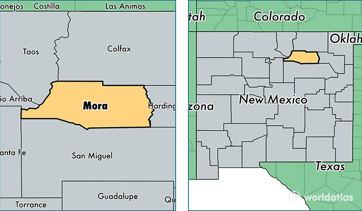
Mora County is a county equivalent area found in New Mexico, USA. The county government of Mora is found in the county seat of Mora.
With a total 5,008. sq. km of land and water area, Mora County, New Mexico is the 330th largest county equivalent area in the United States. Home to 4,592 people, Mora County has a total 3203 households earning 28481 on average per year.
Mora County, New Mexico offers the following attraction to visitors: Fort Union NM
Mora County, New Mexico - Quick Facts
| FIPS Code | 35033 |
| Area Codes | 575,505 |
| Time Zone | MST |
| Major Cities | Mora (population: 1,611), Rociada (population: 596), Cleveland (population: 512), Wagon Mound (population: 415), Holman (population: 393), Guadalupita (population: 362), Buena Vista (population: 272), Chacon (population: 272), Watrous (population: 244), Rainsville (population: 224) |
| Land Area | 1,773 sq miles |
| Water Area | 1,931 sq miles |
| Household Income | $28,481 |
| Housing Units | 3,203 |
| Median Home Value | $96,200 |
| High School Grads | 84% of population |
| Holders of Bachelors Degrees | 10% of population |
| Retail Spending | $2,799 per capita |
This page was last updated on June 30, 2016.