Where is McKinley County, New Mexico?
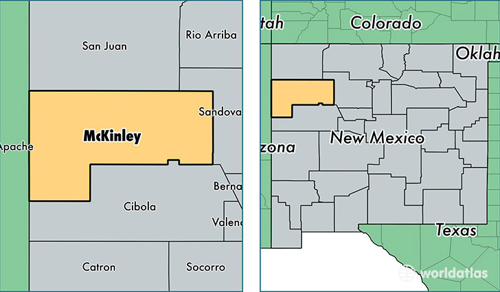
McKinley County is a county equivalent area found in New Mexico, USA. The county government of McKinley is found in the county seat of Gallup.
With a total 14,129.1 sq. km of land and water area, McKinley County, New Mexico is the 72nd largest county equivalent area in the United States. Home to 74,098 people, McKinley County has a total 25641 households earning 30458 on average per year.
McKinley County, New Mexico - Quick Facts
| FIPS Code | 35031 |
| Area Codes | 505 |
| Time Zone | MST |
| Major Cities | Gallup (population: 27,599), Zuni (population: 8,050), Crownpoint (population: 5,772), Thoreau (population: 4,650), Church Rock (population: 4,297), Yatahey (population: 3,261), Tohatchi (population: 3,055), Navajo (population: 2,711), Gamerco (population: 1,997), Mentmore (population: 1,871) |
| Land Area | 28,609 sq miles |
| Water Area | 5,450 sq miles |
| Household Income | $30,458 |
| Housing Units | 25,641 |
| Median Home Value | $74,900 |
| High School Grads | 73% of population |
| Holders of Bachelors Degrees | 11% of population |
| Retail Spending | $13,254 per capita |
| Food & Accomodation Sales | $109,149 per capita |
| Universities and Colleges | Navajo Technical College, University of New Mexico-Gallup Campus |
This page was last updated on June 30, 2016.