Where is Warren County, New Jersey?
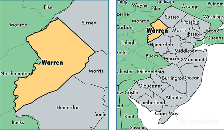
Warren County is a county equivalent area found in New Jersey, USA. The county government of Warren is found in the county seat of Belvidere.
With a total 939.75 sq. km of land and water area, Warren County, New Jersey is the 2701st largest county equivalent area in the United States. Home to 106,917 people, Warren County has a total 45167 households earning 70912 on average per year.
Warren County, New Jersey offers the following attractions to visitors: Douglas/Garvey Springs Trails, Dunnfield Parking/Appalachian Trail (Worthington State Forest), DWG NRA Kittatinny Point Visitor Center, DWG NRA Millbrook Village NJ, DWG NRA Poxono River Access NJ, DWG NRA Van Campen Glen Recreation Site, DWG NRA Millbrook Village NJ, Mt. Tammany/Red Dot Trailhead, Turtle Beach NJ DWNRA
Warren County, New Jersey - Quick Facts
| FIPS Code | 34041 |
| Area Codes | 908 |
| Time Zone | EST |
| Major Cities | Hackettstown (population: 29,709), Phillipsburg (population: 29,554), Washington (population: 14,353), Blairstown (population: 9,463), Belvidere (population: 7,498), Stewartsville (population: 7,009), Oxford (population: 4,290), Columbia (population: 3,865), Great Meadows (population: 3,533), Port Murray (population: 2,176) |
| Land Area | 41,281 sq miles |
| Water Area | 357 sq miles |
| Household Income | $70,912 |
| Housing Units | 45,167 |
| Median Home Value | $271,100 |
| High School Grads | 90% of population |
| Holders of Bachelors Degrees | 30% of population |
| Retail Spending | $14,137 per capita |
| Food & Accomodation Sales | $117,967 per capita |