Where is Mercer County, New Jersey?
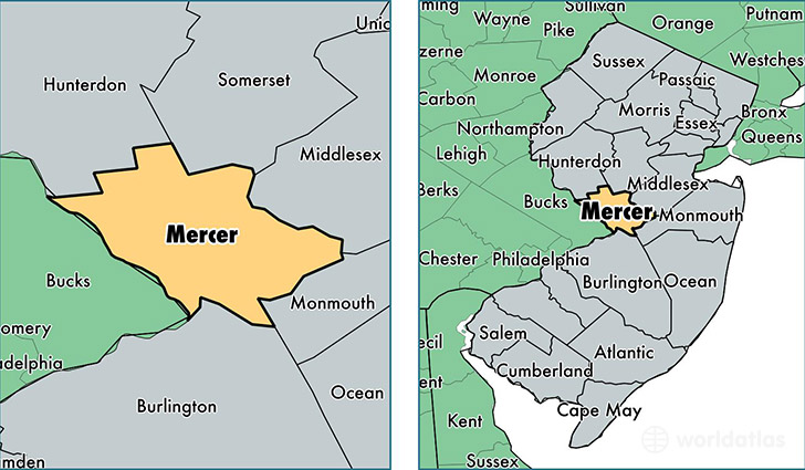
Mercer County is a county equivalent area found in New Jersey, USA. The county government of Mercer is found in the county seat of Trenton.
With a total 592.82 sq. km of land and water area, Mercer County, New Jersey is the 2982nd largest county equivalent area in the United States. Home to 371,537 people, Mercer County has a total 144222 households earning 73480 on average per year.
Mercer County, New Jersey offers the following attractions to visitors: Grover Cleveland Tomb, Grover Cleveland Home
Mercer County, New Jersey - Quick Facts
| FIPS Code | 34021 |
| Area Codes | 609 |
| Time Zone | EST |
| Major Cities | Trenton (population: 229,585), Princeton (population: 52,694), Lawrence Township (population: 32,420), Hightstown (population: 28,005), Princeton Junction (population: 19,539), Pennington (population: 12,992), Hopewell (population: 4,780), Titusville (population: 3,673), Windsor (population: 227) |
| Land Area | 143,451 sq miles |
| Water Area | 225 sq miles |
| Household Income | $73,480 |
| Housing Units | 144,222 |
| Median Home Value | $286,900 |
| High School Grads | 87% of population |
| Holders of Bachelors Degrees | 39% of population |
| Retail Spending | $14,004 per capita |
| Food & Accomodation Sales | $695,848 per capita |
| Universities and Colleges | Princeton Theological Seminary, Princeton University, Thomas Edison State College |
This page was last updated on June 30, 2016.