Where is Hudson County, New Jersey?
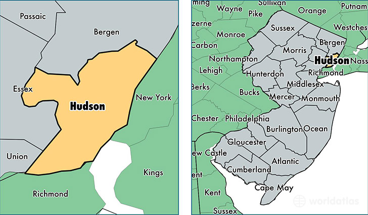
Hudson County is a county equivalent area found in New Jersey, USA. The county government of Hudson is found in the county seat of Jersey City.
With a total 161.53 sq. km of land and water area, Hudson County, New Jersey is the 3108th largest county equivalent area in the United States. Home to 669,115 people, Hudson County has a total 274509 households earning 58442 on average per year.
Hudson County, New Jersey - Quick Facts
| FIPS Code | 34017 |
| Area Codes | 201,973 |
| Time Zone | EST |
| Major Cities | Jersey City (population: 254,565), Union City (population: 68,406), Bayonne (population: 64,823), West New York (population: 62,615), North Bergen (population: 62,501), Hoboken (population: 51,426), Kearny (population: 41,840), Secaucus (population: 16,726), Harrison (population: 16,481), Weehawken (population: 12,910) |
| Land Area | 258,347 sq miles |
| Water Area | 46 sq miles |
| Household Income | $58,442 |
| Housing Units | 274,509 |
| Median Home Value | $347,200 |
| High School Grads | 82% of population |
| Holders of Bachelors Degrees | 36% of population |
| Retail Spending | $10,350 per capita |
| Food & Accomodation Sales | $880,714 per capita |
| Universities and Colleges | New Jersey City University, Natural Motion Institute of Hair Design, Saint Peters College, Stevens Institute of Technology, University of Phoenix-Jersey City Campus |
This page was last updated on June 30, 2016.