Where is Gloucester County, New Jersey?
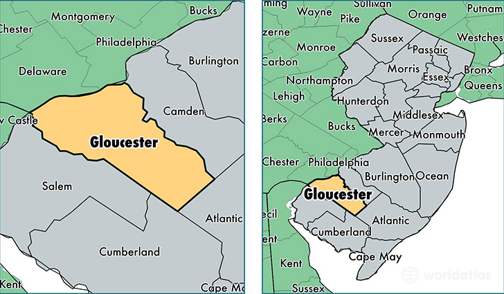
Gloucester County is a county equivalent area found in New Jersey, USA. The county government of Gloucester is found in the county seat of Woodbury.
With a total 873.29 sq. km of land and water area, Gloucester County, New Jersey is the 2769th largest county equivalent area in the United States. Home to 290,951 people, Gloucester County has a total 111439 households earning 74524 on average per year.
Gloucester County, New Jersey - Quick Facts
| FIPS Code | 34015 |
| Area Codes | 856 |
| Time Zone | EST |
| Major Cities | Williamstown (population: 40,115), Sewell (population: 37,601), Deptford (population: 36,278), Glassboro (population: 20,168), Swedesboro (population: 18,820), Mullica Hill (population: 15,826), Mantua (population: 10,806), Franklinville (population: 10,571), Westville (population: 9,784), Pitman (population: 9,594) |
| Land Area | 112,337 sq miles |
| Water Area | 322 sq miles |
| Household Income | $74,524 |
| Housing Units | 111,439 |
| Median Home Value | $224,700 |
| High School Grads | 91% of population |
| Holders of Bachelors Degrees | 28% of population |
| Retail Spending | $15,216 per capita |
| Food & Accomodation Sales | $379,388 per capita |
This page was last updated on June 30, 2016.