Where is Cape May County, New Jersey?
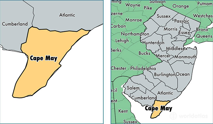
Cape May County is a county equivalent area found in New Jersey, USA. The county government of Cape May is found in the county seat of Cape May Court House.
With a total 1,606.88 sq. km of land and water area, Cape May County, New Jersey is the 1672nd largest county equivalent area in the United States. Home to 95,344 people, Cape May County has a total 98686 households earning 56494 on average per year.
Cape May County, New Jersey - Quick Facts
| FIPS Code | 34009 |
| Area Codes | 609 |
| Time Zone | EST |
| Major Cities | Cape May (population: 18,373), Cape May Court House (population: 16,997), Wildwood (population: 13,526), Ocean City (population: 11,585), Villas (population: 10,261), Woodbine (population: 8,416), Ocean View (population: 5,543), Marmora (population: 4,084), Rio Grande (population: 3,184), Sea Isle City (population: 2,093) |
| Land Area | 36,813 sq miles |
| Water Area | 251 sq miles |
| Household Income | $56,494 |
| Housing Units | 98,686 |
| Median Home Value | $312,800 |
| High School Grads | 89% of population |
| Holders of Bachelors Degrees | 29% of population |
| Retail Spending | $16,390 per capita |
| Food & Accomodation Sales | $516,973 per capita |
This page was last updated on June 30, 2016.