Where is Camden County, New Jersey?
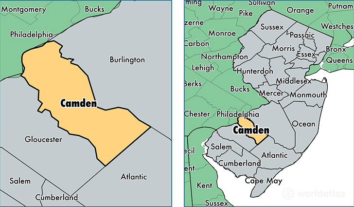
Camden County is a county equivalent area found in New Jersey, USA. The county government of Camden is found in the county seat of Camden.
With a total 588.68 sq. km of land and water area, Camden County, New Jersey is the 2984th largest county equivalent area in the United States. Home to 511,038 people, Camden County has a total 205785 households earning 61683 on average per year.
Camden County, New Jersey offers the following attraction to visitors: USS New Jersey (BB-62)
Camden County, New Jersey - Quick Facts
| FIPS Code | 34007 |
| Area Codes | 856 |
| Time Zone | EST |
| Major Cities | Camden (population: 75,664), Cherry Hill (population: 71,035), Sicklerville (population: 50,586), Clementon (population: 44,822), Blackwood (population: 39,064), Voorhees (population: 29,124), Merchantville (population: 22,401), Pennsauken (population: 19,003), Collingswood (population: 18,040), Haddonfield (population: 16,257) |
| Land Area | 197,313 sq miles |
| Water Area | 221 sq miles |
| Household Income | $61,683 |
| Housing Units | 205,785 |
| Median Home Value | $210,700 |
| High School Grads | 87% of population |
| Holders of Bachelors Degrees | 29% of population |
| Retail Spending | $11,321 per capita |
| Food & Accomodation Sales | $678,828 per capita |
| Universities and Colleges | Camden County College, Empire Beauty School-Cherry Hill |
This page was last updated on June 30, 2016.