Where is Burlington County, New Jersey?
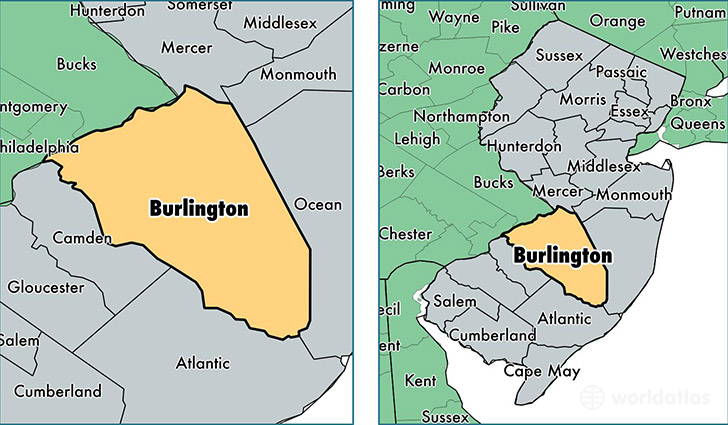
Burlington County is a county equivalent area found in New Jersey, USA. The county government of Burlington is found in the county seat of Mount Holly.
With a total 2,123.37 sq. km of land and water area, Burlington County, New Jersey is the 1131st largest county equivalent area in the United States. Home to 449,722 people, Burlington County has a total 177026 households earning 78446 on average per year.
Burlington County, New Jersey offers the following attraction to visitors: New Jersey Pinelands National Reserve
Burlington County, New Jersey - Quick Facts
| FIPS Code | 34005 |
| Area Codes | 856,609 |
| Time Zone | EST |
| Major Cities | Marlton (population: 45,802), Mount Laurel (population: 42,106), Burlington (population: 33,734), Willingboro (population: 31,770), Riverside (population: 29,061), Medford (population: 27,336), Mount Holly (population: 24,856), Vincentown (population: 24,807), Moorestown (population: 21,212), Browns Mills (population: 20,883) |
| Land Area | 173,639 sq miles |
| Water Area | 798 sq miles |
| Household Income | $78,446 |
| Housing Units | 177,026 |
| Median Home Value | $252,500 |
| High School Grads | 92% of population |
| Holders of Bachelors Degrees | 35% of population |
| Retail Spending | $15,695 per capita |
| Food & Accomodation Sales | $656,980 per capita |
This page was last updated on June 30, 2016.