Where is Saunders County, Nebraska?
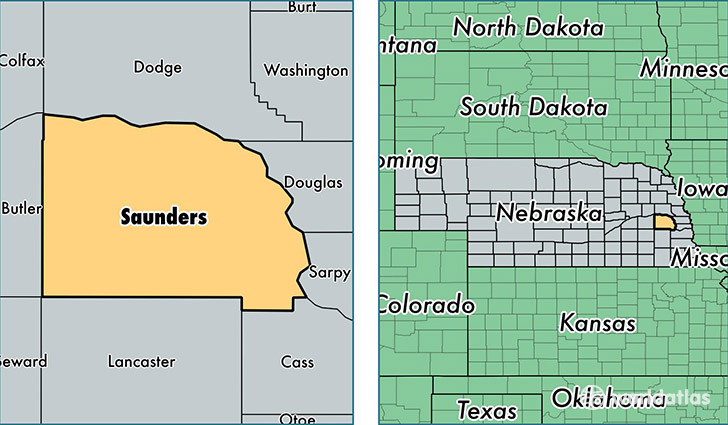
Saunders County is a county equivalent area found in Nebraska, USA. The county government of Saunders is found in the county seat of Wahoo.
With a total 1,967.92 sq. km of land and water area, Saunders County, Nebraska is the 1264th largest county equivalent area in the United States. Home to 20,919 people, Saunders County has a total 9316 households earning 59870 on average per year.
Saunders County, Nebraska - Quick Facts
| FIPS Code | 31155 |
| Area Codes | 402 |
| Time Zone | CST |
| Major Cities | Wahoo (population: 5,651), Ashland (population: 4,289), Yutan (population: 1,964), Ceresco (population: 1,702), Valparaiso (population: 1,522), Cedar Bluffs (population: 1,153), Mead (population: 956), Weston (population: 837), Prague (population: 610), Colon (population: 517) |
| Land Area | 8,077 sq miles |
| Water Area | 750 sq miles |
| Household Income | $59,870 |
| Housing Units | 9,316 |
| Median Home Value | $147,600 |
| High School Grads | 93% of population |
| Holders of Bachelors Degrees | 24% of population |
| Retail Spending | $7,398 per capita |
| Food & Accomodation Sales | $9,218 per capita |
This page was last updated on June 30, 2016.