Where is Platte County, Nebraska?
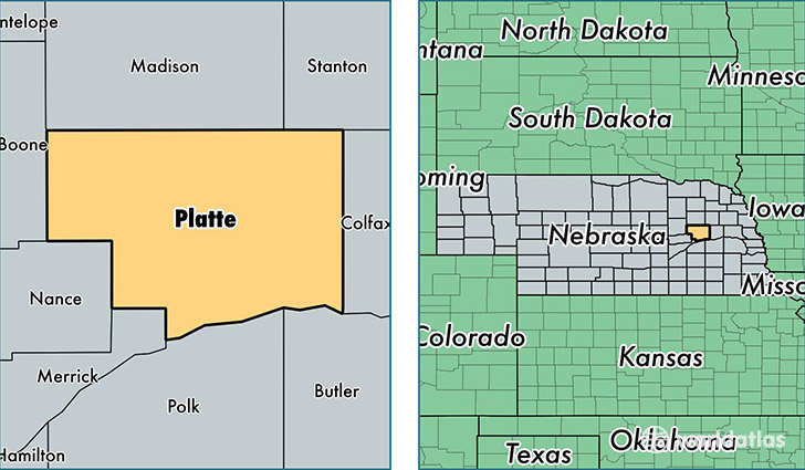
Platte County is a county equivalent area found in Nebraska, USA. The county government of Platte is found in the county seat of Columbus.
With a total 1,773.08 sq. km of land and water area, Platte County, Nebraska is the 1480th largest county equivalent area in the United States. Home to 32,666 people, Platte County has a total 13538 households earning 51213 on average per year.
Platte County, Nebraska - Quick Facts
| FIPS Code | 31141 |
| Area Codes | 402 |
| Time Zone | CST |
| Major Cities | Columbus (population: 28,552), Humphrey (population: 1,743), Genoa (population: 1,607), Platte Center (population: 793), Lindsay (population: 730), Monroe (population: 654), Creston (population: 486), Duncan (population: 349) |
| Land Area | 12,612 sq miles |
| Water Area | 674 sq miles |
| Household Income | $51,213 |
| Housing Units | 13,538 |
| Median Home Value | $115,400 |
| High School Grads | 89% of population |
| Holders of Bachelors Degrees | 19% of population |
| Retail Spending | $15,542 per capita |
| Food & Accomodation Sales | $39,135 per capita |
This page was last updated on June 30, 2016.