Where is Pawnee County, Nebraska?
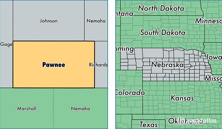
Pawnee County is a county equivalent area found in Nebraska, USA. The county government of Pawnee is found in the county seat of Pawnee City.
With a total 1,121.33 sq. km of land and water area, Pawnee County, Nebraska is the 2430th largest county equivalent area in the United States. Home to 2,702 people, Pawnee County has a total 1590 households earning 37321 on average per year.
Pawnee County, Nebraska - Quick Facts
| FIPS Code | 31133 |
| Area Codes | 402 |
| Time Zone | CST |
| Major Cities | Pawnee City (population: 1,281), Table Rock (population: 462), Steinauer (population: 301), Du Bois (population: 268), Lewiston (population: 80) |
| Land Area | 1,043 sq miles |
| Water Area | 431 sq miles |
| Household Income | $37,321 |
| Housing Units | 1,590 |
| Median Home Value | $57,200 |
| High School Grads | 87% of population |
| Holders of Bachelors Degrees | 12% of population |
| Retail Spending | $5,347 per capita |
| Food & Accomodation Sales | $924 per capita |
This page was last updated on June 30, 2016.