Where is Lancaster County, Nebraska?
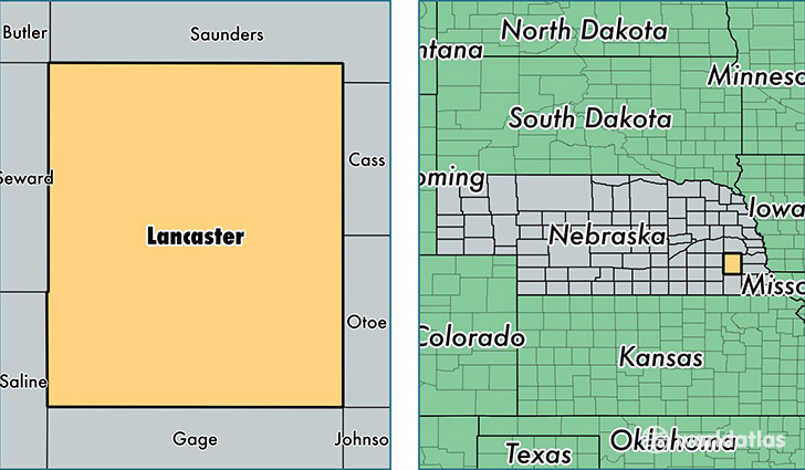
Lancaster County is a county equivalent area found in Nebraska, USA. The county government of Lancaster is found in the county seat of Lincoln.
With a total 2,192.12 sq. km of land and water area, Lancaster County, Nebraska is the 1090th largest county equivalent area in the United States. Home to 301,795 people, Lancaster County has a total 123270 households earning 51574 on average per year.
Lancaster County, Nebraska - Quick Facts
| FIPS Code | 31109 |
| Area Codes | 402 |
| Time Zone | CST |
| Major Cities | Lincoln (population: 273,477), Waverly (population: 3,933), Hickman (population: 2,906), Firth (population: 1,909), Bennet (population: 1,536), Roca (population: 1,441), Raymond (population: 1,412), Denton (population: 1,346), Malcolm (population: 1,243), Martell (population: 927) |
| Land Area | 116,524 sq miles |
| Water Area | 837 sq miles |
| Household Income | $51,574 |
| Housing Units | 123,270 |
| Median Home Value | $148,600 |
| High School Grads | 94% of population |
| Holders of Bachelors Degrees | 36% of population |
| Retail Spending | $13,351 per capita |
| Food & Accomodation Sales | $472,514 per capita |
| Universities and Colleges | Southeast Community College Area, Nebraska Wesleyan University |
This page was last updated on June 30, 2016.