Where is Deuel County, Nebraska?
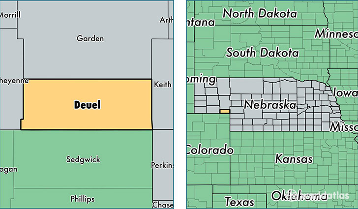
Deuel County is a county equivalent area found in Nebraska, USA. The county government of Deuel is found in the county seat of Chappell.
With a total 1,141.44 sq. km of land and water area, Deuel County, Nebraska is the 2384th largest county equivalent area in the United States. Home to 1,940 people, Deuel County has a total 1030 households earning 44922 on average per year.
Deuel County, Nebraska - Quick Facts
| FIPS Code | 31049 |
| Area Codes | 308 |
| Time Zone | MST |
| Major Cities | Chappell (population: 1,389), Big Springs (population: 627) |
| Land Area | 749 sq miles |
| Water Area | 440 sq miles |
| Household Income | $44,922 |
| Housing Units | 1,030 |
| Median Home Value | $67,400 |
| High School Grads | 93% of population |
| Holders of Bachelors Degrees | 22% of population |
| Retail Spending | $54,087 per capita |
| Food & Accomodation Sales | $4,101 per capita |
This page was last updated on June 30, 2016.